![]()
Home | Teacher | Language Arts | Social Studies | Classroom | Recommended Books
Notes
Map Skills
Map:
A representation of all or part of the earth's surface.
Some maps show the surface of the entire world, but most show a smaller area.
All maps share the same features: every part of a map tells you something important.
Compass rose: points out direction

Latitude and Longitude: imaginary lines that form a grid over the earth.
Grid: a pattern of lines that cross one another. It is used to locate places on the map.
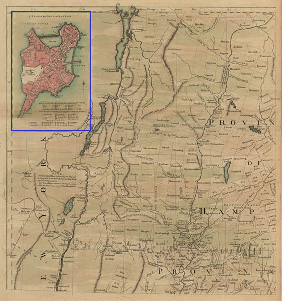
Inset: a small map related to a larger one.
Legend: explains what the map's symbols means
scale: lines that tell you how much smaller the map is than the real area it represents.
1:100,000 scale
(one inch = about 1.5 miles)
projection: shows the earth's curved surface on flat paper.
Globe shows that the earth is shaped like a ball or sphere.
Lines of Latitude: cross globe from east to west between the equator and the poles.
Lines of Longtitude: funs from the North Pole to the South Pole. (Both lines are measured in degrees)
Equator: circles the middle of the earth at 0º latitude.
The northern hemisphere is North of the equator.
The Southern hemisphere is south of the equator.
Prime Meridian: runs through Western Europe and West Africa at 0º longitude.
Halfway around the world is the 180º line of longtitude.
These 2 lines divide the earth into Eastern and Western hemisphere.
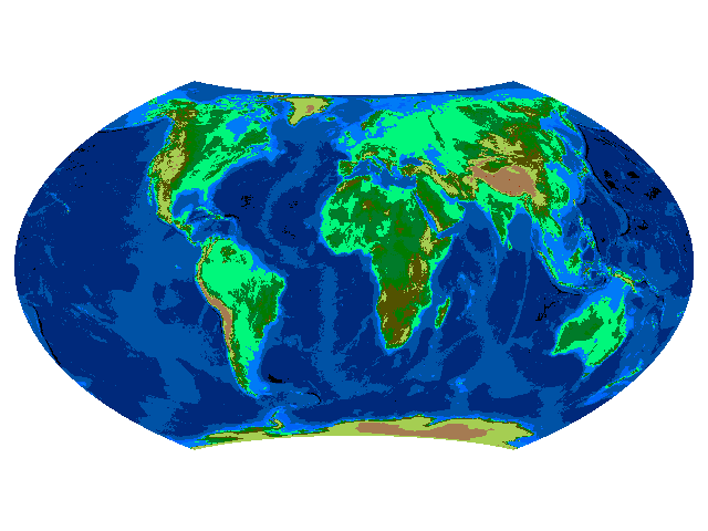
Most of the world maps in this book use the Robinson projection. The sizes, shapes, and distance of land and water areas on this projection are closest to the ones on a globe.
Seasons change because the earth tilts or slants as it revolves around the sun.
Physical Map: shows the elevation of land, or its height compared to sea level.
Sometimes a physical map includes a diagram called a profile.
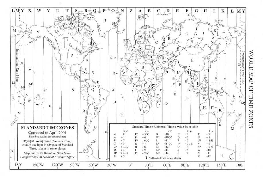
Earth is divided into 24 time zones agreed on by world leaders in 1884.
Time Zone Map: The zone that contains the prime meridian is the starting point of the time zone map. West of the prime meridian, the time gets earlier. Los Angeles - 7 hours earlier than the prime meridian.
When you go West across the international Date line is 180º longitude, the date immediately changes to one day later.
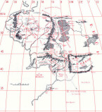
Historical Maps: tells about the history of a group of people or a part of the world.
gives information about the countries that existed in the past.
some show how the boundaries of an area has changed over time.
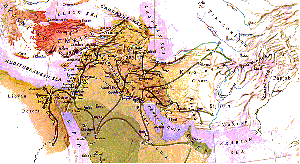
Muslim Expansion in the
Time of Muhammad
from R. Roolvink et al., Historical
Atlas of the Muslim Peoples (Amsterdam, 1957)
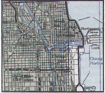
Route Map: shows the movement of people or goods across an area.
some route maps show the paths explorers used.
others show the roads to take on a family trip.
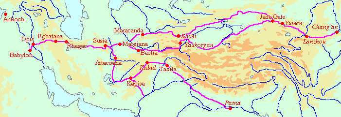
The Silk Route: 7,000 Miles
Cultural Map: show how all or part of one group's culture spread and influence other people.
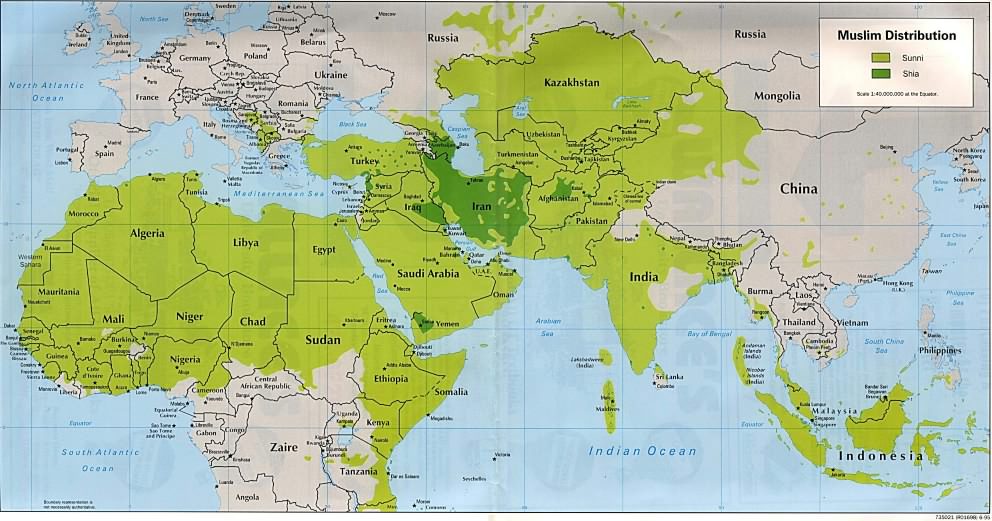
Areas of Muslim Population
Home | Teacher | Language Arts | Social Studies | Classroom | Recommended Books